Solutions
Helping critical infrastructure companies future-proof their services using smart data
Our location 53.38538, -2.97972

A full range of data capture solutions | Leica and Eos GNSS hardware | Esri ArcGIS & Off the shelf industry compliant survey forms | Data analysis & bespoke reporting services
Expand the use of your CAD, BIM, GIS and 3D scan (reality capture) data with leading engineering-grade augmented reality AR.
An out-of-the-box solution for CS 551 & CD 535 compliant DDMS Drainage surveys.
A plug-in for ArcGIS which rapidly transforms CAD layers to an ArcGIS feature class or feature layer in ArcGIS Online or ArcGIS Enterprise
A off the shelf plug-in for improved height and positional accuracy for ArcGIS Field Maps users
IPAS (Interruption Prevention Alert Service) is a next-generation risk alert solution
Delivering smart asset management technology that empower operators in the field and leaders in the boardroom.
Deep, data-driven insight is key to the continued success of critical infrastructure services.
Our solutions help you future-proof your operations and preempt disruptions, minimising consumer complaints, driving more profitable decision-making and keeping you one step ahead.
Leveraging high performing technology and data, we combine the essential components to provide simple workflows to place data truth in the hands of your engineers, field operatives, contractors and boardroom leaders.
Our solutions work together to deliver the optimal and most cost-effective smart asset management system, taking you from Location to Insight.
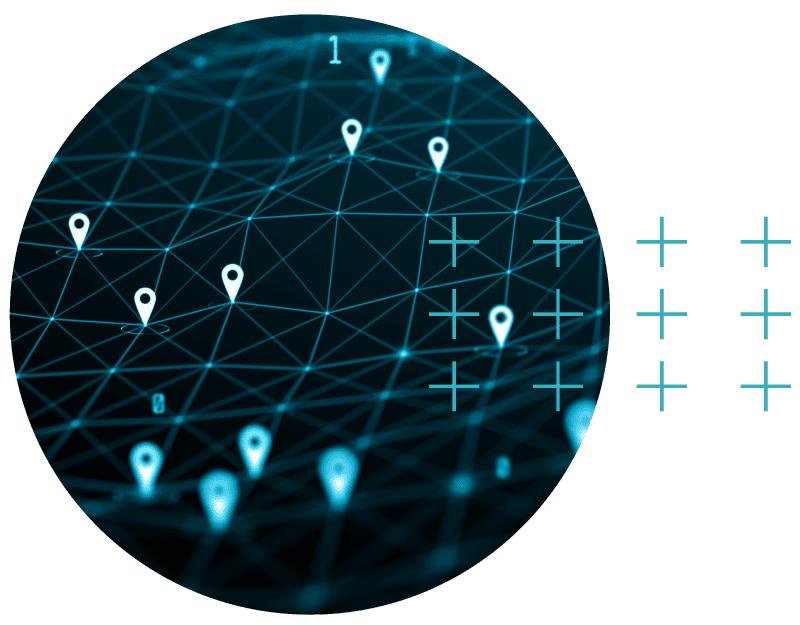
Connected, true 3D data and visualisation for infrastructure and asset management
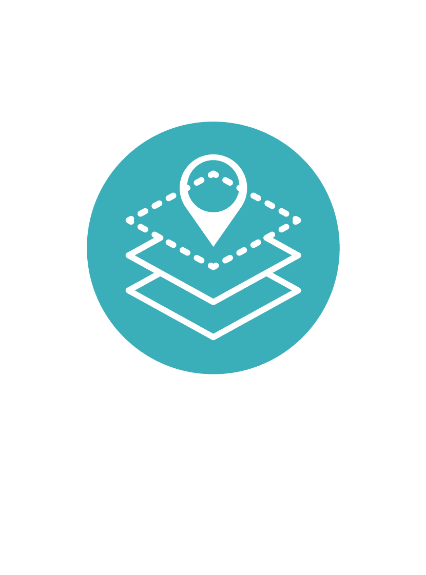
Asset Location helps you to locate assets quickly and efficiently during reactive asset response and cyclical maintenance, providing you with seamless and secure field-to-enterprise data.

Combining multiple mapping apps into fully integrated, seamless workflows
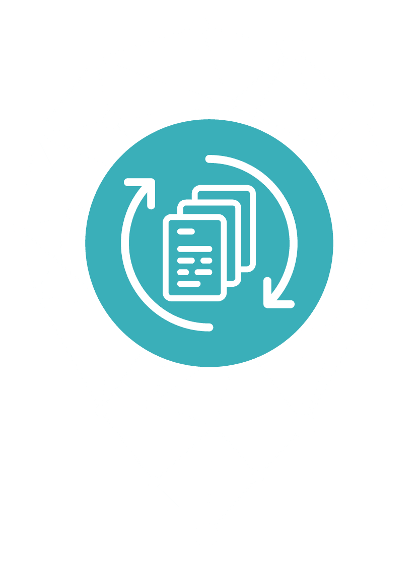
Asset Capture enables you to map your assets in a precise, cost-effective manner, giving you real time updates as change happens.
Affordable cloud access to a rich suite of integrated spatial services
Data Quality Improvement empowers your organisation to measure asset data with accuracy and maintain the integrity of your database as a valuable enterprise resource.
Data-driven analytics combining asset data and mapping intelligence
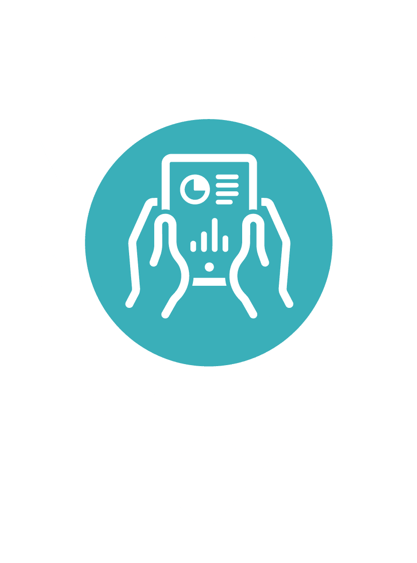
Asset Insight allows you to unlock the value of data, leveraging machine learning, augmented reality, and satellite-based change detection to turn spatial data into actionable intelligence.
With satellite positioning technology, recording of asset locations is now easier than ever using Global Navigation Satellite System (GNSS) as the primary tool.
MGISS provides trust in asset data accuracy down to 1cm between an asset location on a digital map and it’s actual location in the real world
Target investment and optimise resources for field operations

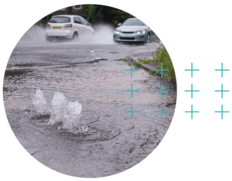
Reduce costly and dangerous utility strike events
Build an accurate and authoritative source of the data truth as an enterprise resource
Accurate and authoritative data efficiently connects teams in the field to assets that need immediate attention improving safety, increasing productivity and providing board members with deep insights into asset successes and failures.

Optimising asset resilience and streamlining service supply


Creating seamless networks and improving efficiency in transportation


Protecting the environment and promoting clean growth

