Testimonial
"MGISS know our systems very well. They can identify where we can save time and money, and how to improve our workflow. The speed of support is impressive and it’s a pleasure to work with them."

Our location 53.38538, -2.97972
MGISS specialise in delivering bespoke solutions.Whether it’s native, web, or mobile applications, we design with your business in mind. We aim to enhance your field data capture and GIS analysis, seamlessly integrating data in real time.

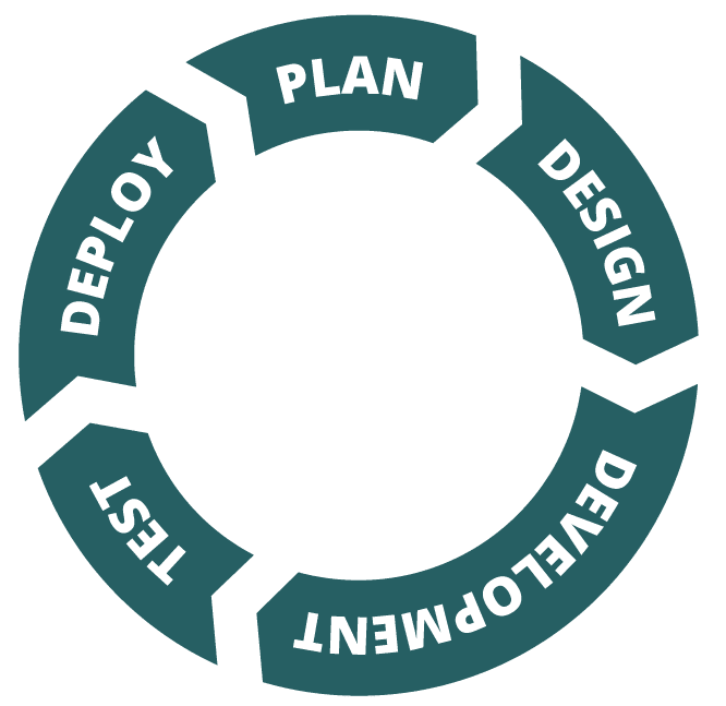
We follow an agile framework – plan, design, development, test, deploy, to ensure customer requirements are achieved to an agreed plan.
Following a requirements-gathering session with the customer, we will brainstorm the GIS platforms and required coding languages to build compliant geodatabases with our custom schema-building app.
Using industry-standard mobile data capture software such as ArcGIS Survey123 and ArcGIS Field Maps, we can build industry-compliant forms to enable your business to complete jobs efficiently and accurately.
Choosing MGISS for GIS Development means opting for a partner dedicated to your success. Our services empower you with advanced tools for a competitive edge in the geospatial sector. With MGISS, you gain a partnership supporting your innovation and efficiency journey.

Only the largest of businesses tend to have in-house developers. These tend to be specialist geospatial engineers who work with GIS Analysts. MGISS typically provide that developer role for businesses in the UK, but we also work with GIS Analysts and support them when they are at capacity – this can be on a project basis or longer term.
We specialise in transforming data from multiple sources into both CAD, GIS and BIM platforms.
Python and FME are the most commonly used tools.
Generally, No. Most of our GIS development work is done based on the customer’s platform choice and is easily maintained. If the platform itself makes major changes, this could impact the software solution, but this kind of change is generally kept to a minimum.
Need help configuring your software and IT infrastructure to work best for you? Talk to our team of technical experts.
