GIS in the Electric Utility Sector

GIS (geographic information systems) translates and connects data to a map incorporating many components. Essential infrastructure companies responsible for water, electricity, and telecommunications have been using GIS software for workforce and asset management, planning, field operations and spatial analysis for decades. Examples of apps that utilise GIS, such as Google Maps, Waze and Uber, have quickly become a part of everyday life.
Functional electric utilities are an integral part of our daily life, and maintaining and monitoring the infrastructure network needed is massive and complex. GIS technology is essential to the electrical utility industry because it allows the simultaneous assessment of several components, including financial, technical and environmental factors.
GIS is a user-friendly, cost-effective way to store and track quality data and is a foundational layer of technology that helps keep electric utility companies in compliance while managing assets. There are several ways GIS supports the electric utility sector, and we will list some of them below.
5 Essential Ways GIS Improves Electric Utility Companies
GIS helps with essential components, managing and mapping the location of underground and overhead circuits. It links data, work orders, power outages, vegetation management, and customer information and supports proactive efforts to maintain and monitor the systems of the electrical utility provider.
GIS also helps keep infrastructure data current and up to date, helps to future-proof the company, and improves decision making and monitoring of emergencies and scheduling response teams.
1. Accurate Asset Inventory and Infrastructure
Being able to monitor your asset inventory accurately is essential to staying in business. GIS makes it possible to correctly map assets such as your substations, transformers, cable lines, electric poles, and other electric utilities.
GIS helps monitor and manage asset data by combining various factors to gain much-needed insight from the infrastructure. Quality data helps to dramatically improve quick, intelligent decision making.
GIS will help your organisation to:
- Identify issues, hazards and risks such as a power outage, potential threat or historical pattern of problems in a specific area
- Monitor and analyse usage patterns, comparing them to past usage and prepare for future needs based on data
- Oversee energy and utility usage levels
- Help to make repairs efficiently and quickly
- Improve customer service and satisfaction
- Improves the quality of data your company receives, which helps to support improved intelligent decision-making abilities
2. Helps Support And Optimize Field Operations
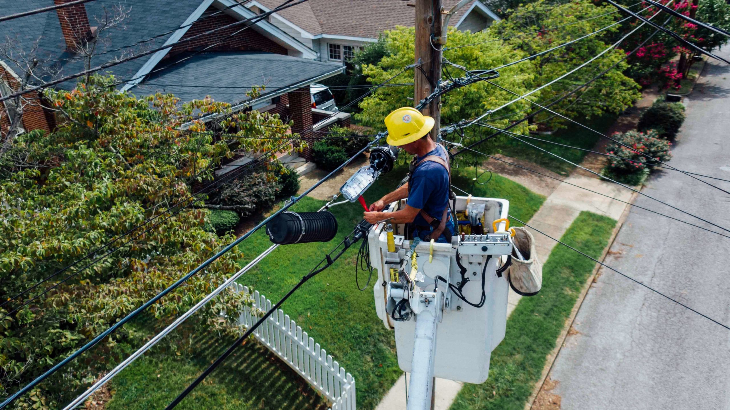
Mapping infrastructure, monitoring and maintaining assets are an essential part of field operations in electric utilities. GIS makes this possible and is simply the most efficient and effective way for field crews to map the location of assets, perform inspections, mitigate costly fines and risks and improve the workflow.
GIS takes the place of paper maps and makes all data accessible through mobile interaction. These maps contain all necessary infrastructure data synced to the Cloud GIS, making completing surveys and inspections easier.
GIS eliminates the need for paper forms and data transcribing and enhances the ability of your company, clients and subcontractors to collaborate on timely projects, issues and emergencies.
3. Collaborate, Share and Optimize Geospatial Data
GIS connects everyone into the workflow space and keeps all necessary data and components available to clients, decision-makers, managers, engineers, and field workers. GIS helps keep everyone up to date with current conditions, track historical data, and make it possible for the whole team to collaborate quickly and efficiently.
As field workers collect data, it is instantly populated onto an online map, giving real-time data to the team in the office. It also provides management with the ability to monitor the productivity of those in the field. Your organisation can also work with a group of experts to configure your software and IT infrastructure to meet your needs.
4. Improve Customer Satisfaction
There are several ways that GIS helps contribute to improving customer satisfaction.
- Allows for improved monitoring of consumer power usage
- Identify power outages quickly and helps field teams to work more efficiently and effectively to restore power
- Identify areas where customers are underserved or where more support is needed
- Mapping of infrastructure saves time and money
Better service, faster response time, and cost-effective options make customers happy!
GIS and Your Business
The utility and infrastructure sector greatly benefit from GIS and quickly transform capabilities to monitor assets, mitigate risks and regulatory fines, manage, understand complex environmental concerns and improve customer satisfaction. It is critical to continue to protect the environment while we continue to expand our infrastructure, developments, and population in today’s world.
At MGISS, we are experts in helping the utility and infrastructure organisations grow sustainably and providing essential quality data that helps to strengthen the foundation of your company. Consult with us today to learn more.
About
Empowering your decision making with the asset data truth. Independently advising on the smarter use of Geospatial data, technology and the digital transformation of field operations.


