The Different Uses Of Geospatial Data
Geospatial data combines location information (coordinates on the earth) with an object’s attributes, events, or phenomena and temporal data (time or life span).
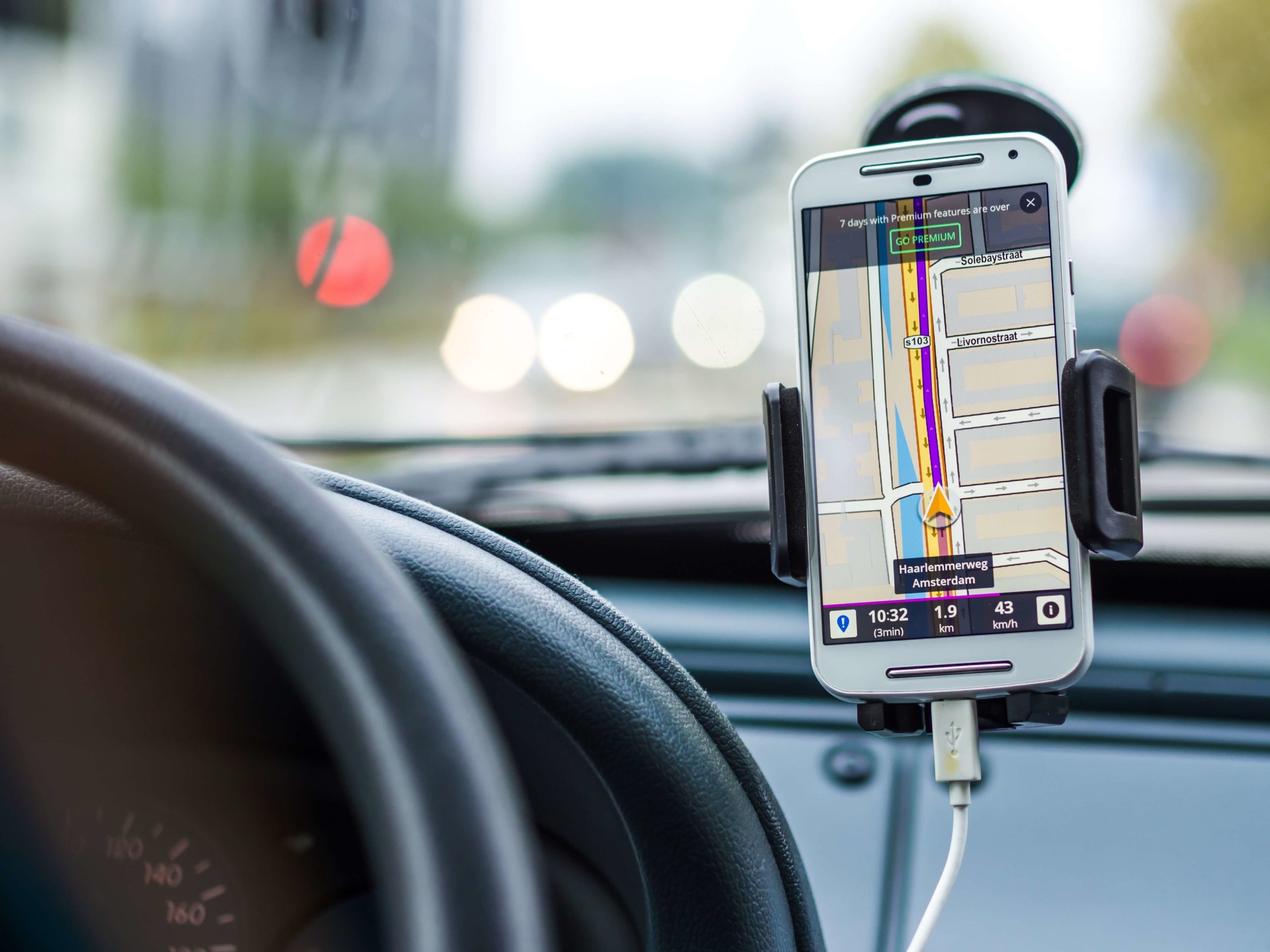
The majority of geospatial data is easily accessible and free to the general public. It includes information such as roads, localities, bodies of water, businesses, public amenities, restaurants, etc. So, for example, when you utilise Google maps, Uber, or Amazon, these apps use geospatial data as a foundational part of their business.
There are many applications of geospatial data in our society, and we have only just begun exploring the various ways of using it. Below are some examples of community and environmental uses and benefits of geospatial data.
9 Common Uses Of Geospatial Data
Many essential service sectors utilise geospatial data, including infrastructure, utilities, government, urban planning, etc., and environmental organisations that play a critical role in protecting habitats and wildlife. Many organisations now offer their employees geospatial training to help improve decision making, efficiency and cost-effectiveness.
A significant aspect of geospatial data is that you can combine it with data from various sources to create multilayered data to help build a visual picture that allows us to understand the world around us.
Geospatial data can include:
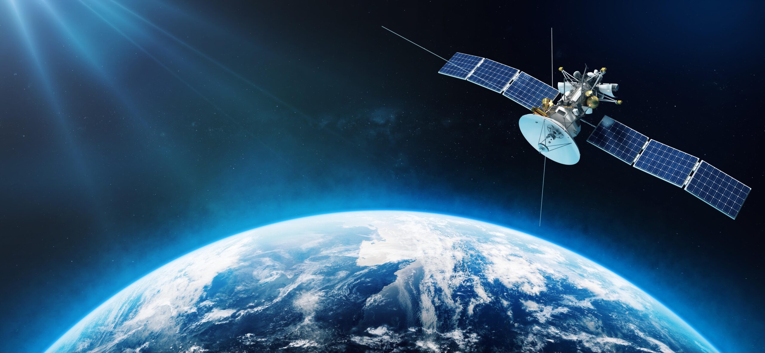
- Satellite imagery or aerial photography
- Cell phone data
- Drawn images such as buildings or other structures
- Weather and census data
- Social media posts and data
Use #1. Mapping
If you have ever used Google maps or typed in “library near me”, you have benefited from geospatial data.
Mapping is a foundational piece to many other methods of using geospatial data that includes essential information such as:
- Roads and highways
- Building footprints
- Hospitals and other public utilities
- Restaurants
- Waterways, watersheds and other bodies of water
- Protected habitats, wildlife and monitor erosion
Use #2. Urban Planning
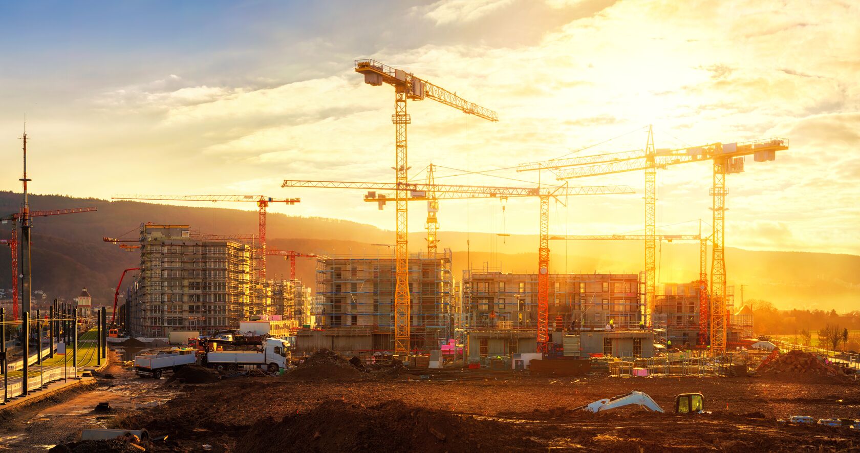
Geospatial data is an essential tool for developing and modelling urban areas. When developers, city and state governments have the data that includes where people live, the routes they take, how far they travel, the location of the buildings, etc., it is easier to make planning decisions. It is also more efficient and cost-effective to use a moving vehicle to collect data for large areas.
When designing a layout, geospatial data makes it much easier to ensure that essential services such as hospitals and grocery stores are easily accessible, helping to ease traffic and reduce accidents.
Use #3. Choosing A Site
Businesses and other essential services use geospatial data to determine the best location for opening up a shop, business, restaurant or organisation. It can also indicate when it is time to move based on the local client travel patterns.
Retail stores can see the location of the competitor’s stores and also see demographics, how nearby their ideal customers live, transportation accessibility and identify other risks or benefits of a specific area.
Use #4. Monitor Foot Traffic
Cell phone data will allow you to track more or less foot traffic in different locations. It will also allow you to determine if people are just driving by or going into the shops.
Use #5. Telecommunications Planning
When a telecommunication company plans to install a new tower, it uses geospatial data to determine where the busiest areas are in a neighbourhood. This helps to ensure they maximise the coverage area while using the minimum amount of time, field workers and hardware.
Use #6. Natural Disasters
More and more people are affected by extreme weather events such as earthquakes, tornados and wildfires that have become increasingly common. Geospatial data combines weather data, forecast, satellite imagery, census data and other GIS data to help predict natural disasters and keep people safer.
After a natural disaster happens, the assistance response teams can quickly and easily identify the areas that need support, which speeds up emergency responses.
Use #7. Tracking Infectious Disease
Geospatial data can help identify areas where there are disease clusters to help decide a course of action or limit the spread of the disease. It can also help identify areas with higher than average amounts of cancer and help pinpoint what may be the cause.
Use #8. Environment
Geospatial data collection is critical for protecting our environment and wildlife. In the role of conservation, geospatial data helps with forest and land management and habitat protection and can also be used to monitor shoreline erosion and seawater levels.
Another way that geospatial data can help is by predicting geographic patterns to help determine the impact of land-use changes and how they would affect the environment as a whole.
Use #9. Defense And Public Safety
Military and police use geospatial data to map, plan routes and mimic battlefield environments, and it helps them make decisions and gather intelligence on specific locations.
At MGISS, We Will Help Future Proof Your Business
These are only a fraction of the ways geospatial data is used daily. Our daily lives would be very different without geospatial software development. Work with an expert geospatial consultant to help upgrade or replace your GIS system.
We care about the future. MGISS works to improve our clients’ resilience, efficiency, and performance while working hard to ensure there is minimal impact on the environment.
Contact us today and start preparing for the future.
About
Empowering your decision making with the asset data truth. Independently advising on the smarter use of Geospatial data, technology and the digital transformation of field operations.
