Understanding the Difference Between GIS and Geospatial

In a world of global trade and commerce, the role and importance of geospatial data and technology can only increase. With consumers used to instant access to online maps of any city, real-time navigation, live ‘busy’ information, connected landmarks and points of interest, and delivery tracking. And yet, for all its relevance and real-world application, many people aren’t familiar with this relatively new yet crucially important technology.
One of the most common misconceptions we’ve encountered is people using the terms GIS and geospatial interchangeably. While the two terms are certainly related to one another, they do, in fact, refer to different things, and this article will break down the definitions and differences between the two.
GIS or Geospatial, What’s the Difference?
As mentioned, these two terms are very similar and tend to be used interchangeably. This is understandable since the terms are related, and their relative newness in our language make them easy to confuse (a look at Google Ngram Viewer reveals that geospatial didn’t enter common use until the early 1990s).
Essentially, GIS refers to a single, specific technology, while geospatial by itself is a catchall adjective that encompasses a wide range of technologies and scientific fields relating to geography. One way to think about it – anything that could be called GIS is geospatial, but not everything that’s geospatial is GIS.
GIS
GIS stands for Geographic Information Systems. GIS is exclusively used to refer to a particular kind of geospatial technology that catalogues spatial information in such a way that it can be referenced, stored, manipulated, analysed and, most importantly of all, mapped out in a visual representation.
The central advantage and function of GIS is allowing users to connect a physical location with the features or things found in that location, thus allowing users to visualise and interact with maps in a way that provides much more data than would ordinarily be available without GIS technology.
Geospatial
Whereas GIS refers to a very particular type of technology, geospatial is an umbrella term referring to anything that has to do with the study or practical use of how geographic features occupy or are distributed across space.
By itself, the term is so broad as to have little practical use other than distinguishing a particular field of scientific study. In more practical terms, the term geospatial is best understood in two areas – data and technology.
Geospatial Data
Geospatial data is information about real-world locations that is in some way related to geography. There’s a very wide range of information that falls under this category, including topography, census data, location and map data, geographic features, and data derived from postal codes.
Ultimately, data is just numbers representing features and information in the real world. By combining these numbers with geography, we can connect this data to locations to better understand, study, and use it in relation to our world.
Geospatial Technology
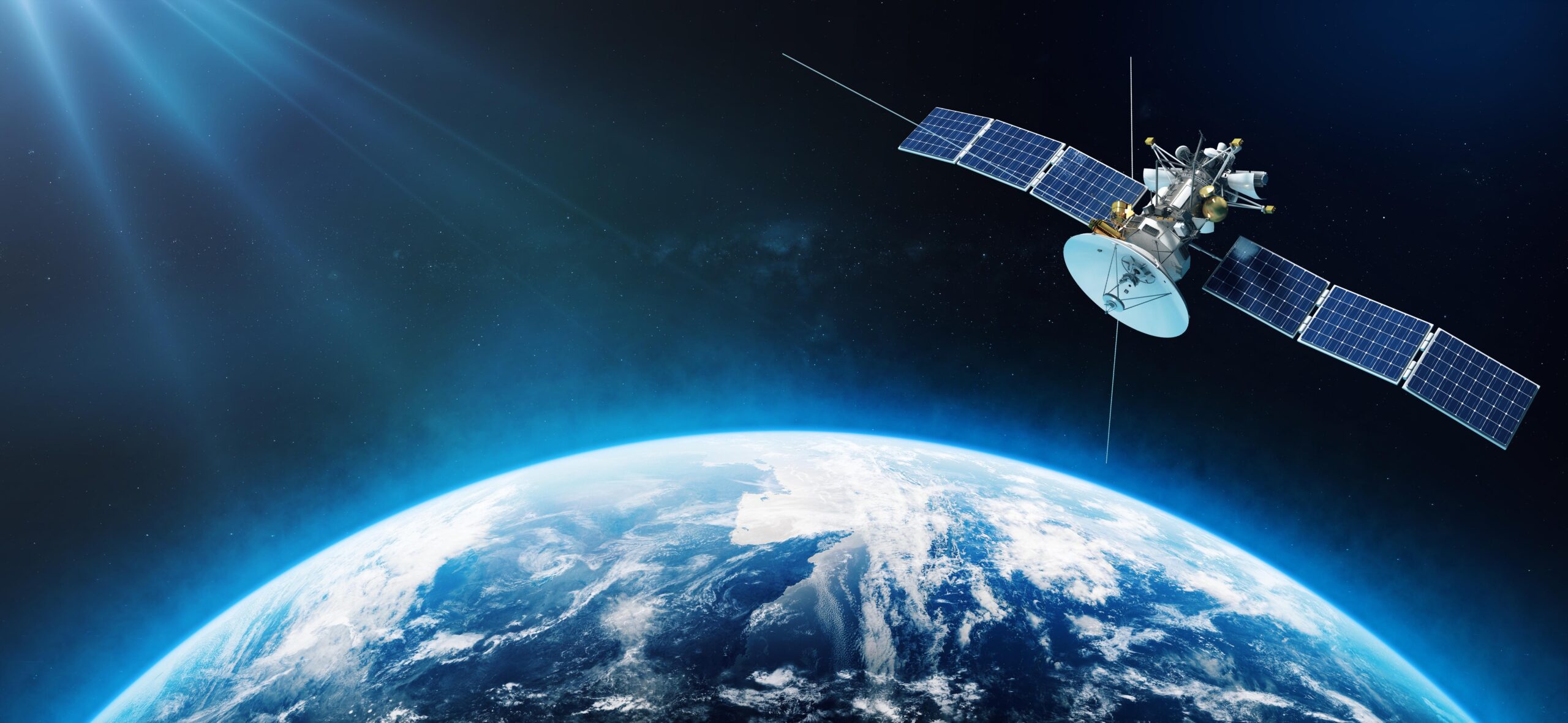
Naturally, geospatial technology refers to any technology that is used for gathering, manipulating, storing, and presenting geographical information. GIS is one kind of geospatial technology, but some other examples include geofencing, remote sensing technology, and of course, Global Navigation Satellite System (GNSS) equipment such as the GPS antenna in your mobile phone.
These kinds of technology are becoming more common and widespread with technology advances. Almost everyone carries a phone on their person with full GPS capability, allowing them to get instant travel instructions to just about any location, using a variety of commercial and open-source mapping services.
What Sets Geospatial Apart from Similar Fields?
It’s a common question to ask – geospatial is such a specific term. What sets it apart from spatial studies or simple geography?
Studies and practices described simply as “spatial” (derived from the Latin spatium) is an even broader category than geospatial since it covers any kind of field pertaining to “space”. This can refer to outer space, design ideas connected to the spatial layout of a room or building, or even anatomical studies related to how body parts are spaced out. Geography is likewise broad, relating to anything in the field of naturally occurring features on the planet’s surface.
Geospatial studies and practices set themselves apart with 3 unique practices: a particular focus on the management, analysis, and representation of geographic data. These elements create the three essential levels of geospatial practice:
- Data management naturally includes acquiring, cleaning, and integrating data into a system.
- Data analysis refers to choropleth mapping, overlay, and spatial query.
- Data representation refers to producing representational maps, charts, and graphs of geographic information.
I hope that you’ve found this article useful and enlightening! While it’s only natural that many people (especially those who don’t engage with GIS on a regular or professional level) still confuse the terms GIS and geospatial, the growing relevance of these fields and technologies means that they will only become more prominent and important to society.
Consider MGISS
Here at MGISS, we are at the forefront of GIS technology. As GIS becomes more important to a wider and wider range of industries, you need a trustworthy and reliable team to handle any and all of your GIS needs.
Contact us and find out how we can improve your enterprise through the power of GIS.
About
Empowering your decision making with the asset data truth. Independently advising on the smarter use of Geospatial data, technology and the digital transformation of field operations.


