What is Geospatial Technology?
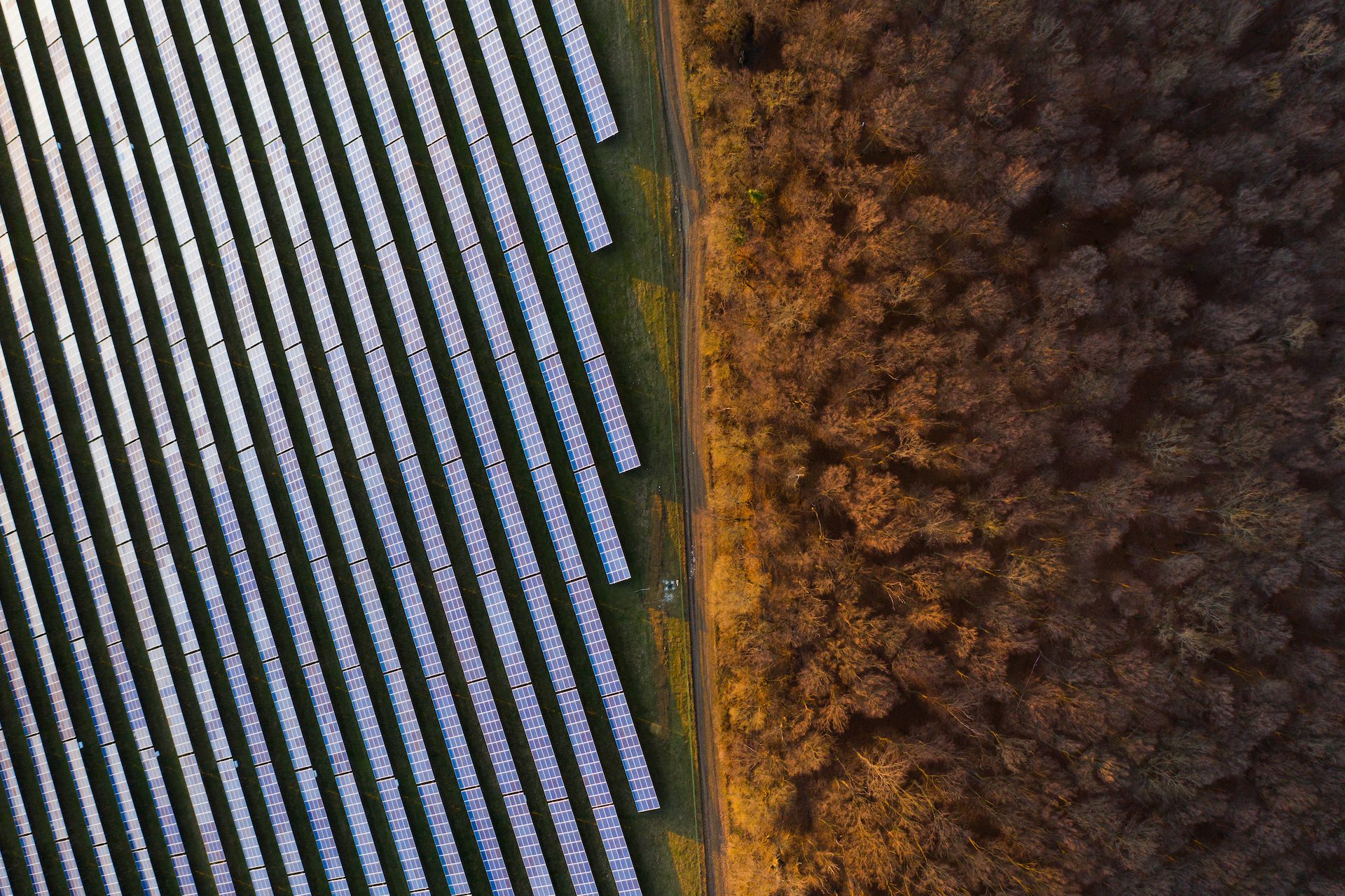
Today, cities around the globe are growing at an unprecedented rate, and human expansion is affecting every corner of the planet. In order to future-proof projects, it is increasingly evident that any planning needs to be done more efficiently than ever before, employing intelligent, highly accurate mapping solutions.
This is where geospatial technology comes in.
Geospatial technologies is an umbrella term used to describe a range of modern mapping tools, which contribute to the geographic mapping and analysis of the Earth and human societies.
The primary focus of geospatial technologies is the accuracy of the geospatial data that is provided. To learn more about this technology and the tools we deploy to create accurate 3D maps and GPS data for your project, let’s take a closer look at the tools and methods used.
What Does Geospatial Technology Include?
Geospatial technology is a field of study encompassing science, academia, defence, and various other industries. Analysts collect geospatial data from maps, geographic surveys, and satellite images. The geospatial data collected is refined and verified, and contributes to advancements in technologies such as global positioning systems (GPS), geographic information systems (GIS), location-based services (LBS), and intelligence analysis.
Geographic Information Systems (GIS)
An important aspect of GIS is its ability to compile a wide range of geospatial data into a layered set of maps, which allow complex data to be analysed and communicated clearly and incredibly accurately. These map layers accurately record and show ground elevation, foliage coverage, landmarks, and natural features of a given area. Most GIS also displays property lines, which is extremely useful in planning and development.
Global Positioning System (GPS)
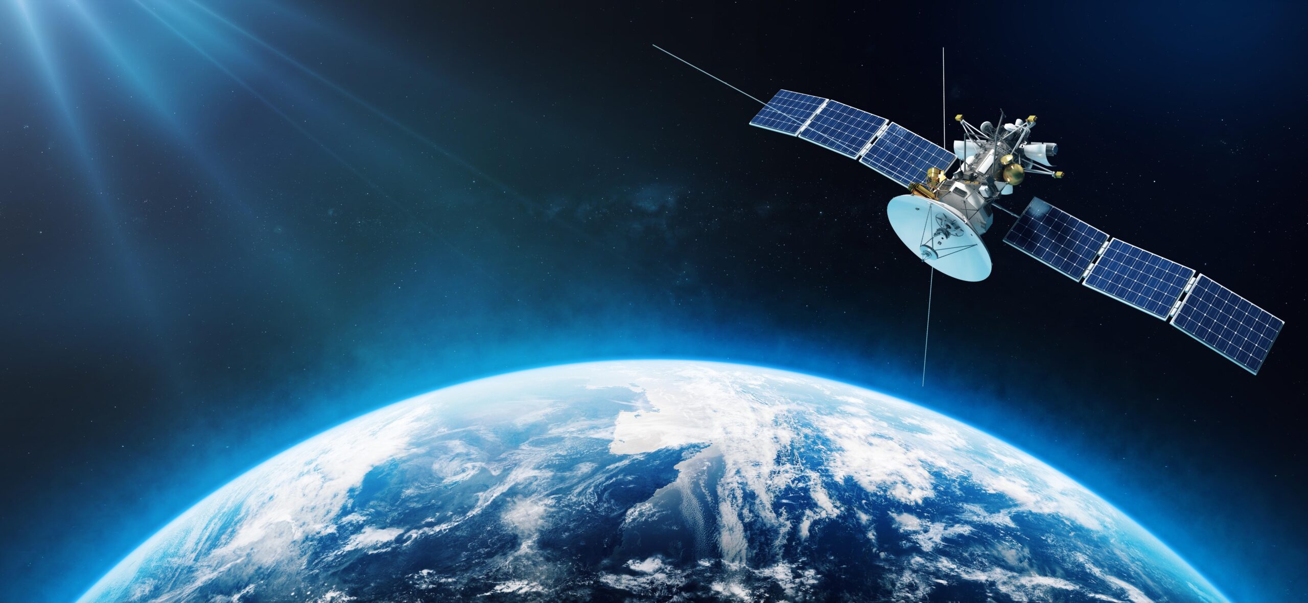
GPS data uses both maps and satellites to pinpoint a location on a map. By triangulating the signal of the requesting device based on the request timing and current satellite position, orbiting satellites can determine location with great accuracy. GPS has become the most widely used global positioning technology, trickling down from government and military technology to widespread availability to most mobile devices.
Remote Sensing
Remote sensing combines technologies that study faraway objects’ reflectance properties with recorded images and data from sensing platforms. Captured images come from satellites, aeroplanes, or drones. Common sensing platforms used in remote sensing include radar, lidar, microwave, and infra-red.
Location-Based Services (LBS) Software
Location-based services (LBS) allows companies to see where their employees are in real-time within warehouses or out in the field. Seeing the location of field technicians is especially important for utility companies when repairing outages or during a natural disaster. Factories also take advantage of LBS when shipping and managing inventory. Each product has a unique identifier that factory workers use to track its location within the warehouse and beyond before it makes its way to the consumer.
Why is Geospatial Technology Important?
Without geospatial technology, critical parties would not readily be able to access digital maps, track packages within a warehouse, or respond to a disaster as it was happening. Geospatial technology is essential for many businesses to utilise mapping data to increase productivity, reduce costs, make better business decisions, and bring cutting edge services to communities.
Many industries use geospatial data for critical business functions daily, from planning and completing projects to the logistics of managing a fleet. When developers plan a project, they use many different geospatial tools to create maps and diagrams of the scope of the project and the impact it has on the land.
Utility services use a significant amount of geospatial data to serve their customers. Aerial imagery and GIS data stitch together images to survey and map a location, create elevation profiles, provide an analysis of vegetation, and consider drainage analysis. They use the collected geospatial data to enhance infrastructure, respond to outages, and manage their fleet of trucks and employees.
Accurate 3D Maps and Asset Data
Geospatial technology is an invaluable resource in day-to-day life and business as we now know it. At MGISS, we offer a broad range of geospatial mapping and data solutions across many industries. Trusted by government agencies, environmental organisations, and private corporations, we aim to create a more sustainable future by increasing the efficiency and delivery of critical infrastructure services. We are passionate about protecting the environment and promoting cleaner growth.
Geospatial technology allows us to provide you with highly detailed, accurate 3D digital maps and crucial geospatial data for utilities projects. Our solutions help to streamline field operations and drive smarter, more profitable decision-making. We offer access to advanced mapping platforms to help you preempt, prevent and resolve operational disruptions in a cost-effective and efficient manner to keep services up and running, and to manage your project each step of the way.
If you need accurate location and tracking data and a solution that helps turn spatial data into actionable intelligence while reducing impact to the planet, people, and your budget, then do not hesitate to contact us today.
About
Empowering your decision making with the asset data truth. Independently advising on the smarter use of Geospatial data, technology and the digital transformation of field operations.
