What is GIS? Geographic Information Systems Explained

Spatial technologies include any software or hardware that interacts with physical locations and collect data for future analysis.
Geographic Information Systems (or GIS) is a specific type of spatial system that uses software to create, manage, analyse, and map various types of data. Most commonly, this system is used to define and display data related to geographical/physical positions on Earth’s surface.
Geographic Information Systems are used for more than just mapping out positions for easier viewing. GIS enables various industries to more easily study the patterns relative to the data on these maps, such as streets, buildings, vegetation, events, and more.
Driven by geography, these patterns emerge more effectively with the right technology available.
Using GIS, businesses in a variety of industries can focus on spatial infrastructure and a better understanding of spatial patterns and relationships that are relevant to their data needs and business goals.
What is GIS?
A geographic information system is a spatial tool used for the analysis of patterns in traditional geographical distance measures as well as qualitative measures related to cultural and gender issues seen across studied geographical areas.
Geographic information systems date back to pre-modern technology. In 1854, GIS was used to map a disease outbreak in London. Since then, technology has seen unprecedented growth, leading to more efficient ways to map out geographical areas and patterns.
GIS Mapping
By collecting geographical data with GIS, we can map out the information for better visualisation. There are four main steps for using geographic information systems.
- Create geographic data
- Manage the data in a database
- Analyse and find patterns with the data
- Visualise the data on a map
In simple terms, GIS maps help us to determine what is where as well as how we can recognise patterns and make decisions (in various industries) based on that information.
There are two different types of GIS data that can be used for mapping and analysis.
Vector Data
Vector data is represented by points, lines, or polygons on a map.
With points, you can’t measure length or area since there aren’t any dimensions associated with a single point on a map. Point data could represent single locations, such as a school, business, traffic accident, city, etc.
Lines represent linear features within geographic data. Streets, rivers, trails, and highways are examples of lines presented in vector data sets. There is always a definitive starting and ending point.
Polygon data represents boundary-oriented data. Counties, state parks, lakes, or city boundary lines are examples of polygon data. Color schemes or strong borders are usually associated with polygon vector data.
Raster Data
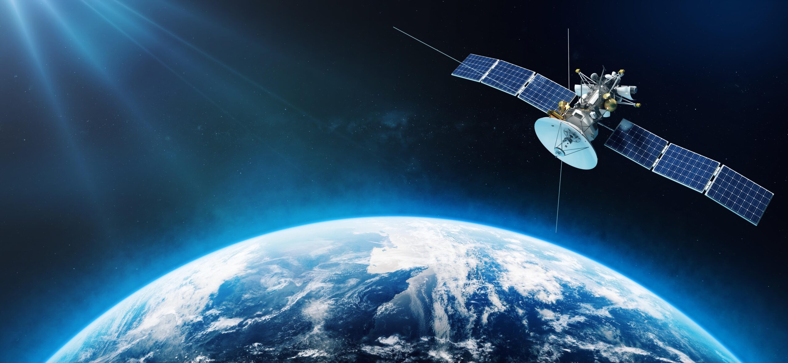
Also known as grid data, raster data represents surface data. This is reflected in satellite, aircraft, and other aerial images. Raster data falls into two categories.
Continuous raster data measures temperatures and elevation measurements. Discrete raster data measures numeric qualities such as population density in a surveyed geographical area.
Common Applications of GIS
Geographic information systems power multiple industries for various tasks. Everything from emergency response protocols and analysing crime patterns to forecasting weather and placing new business locations.
Mapping
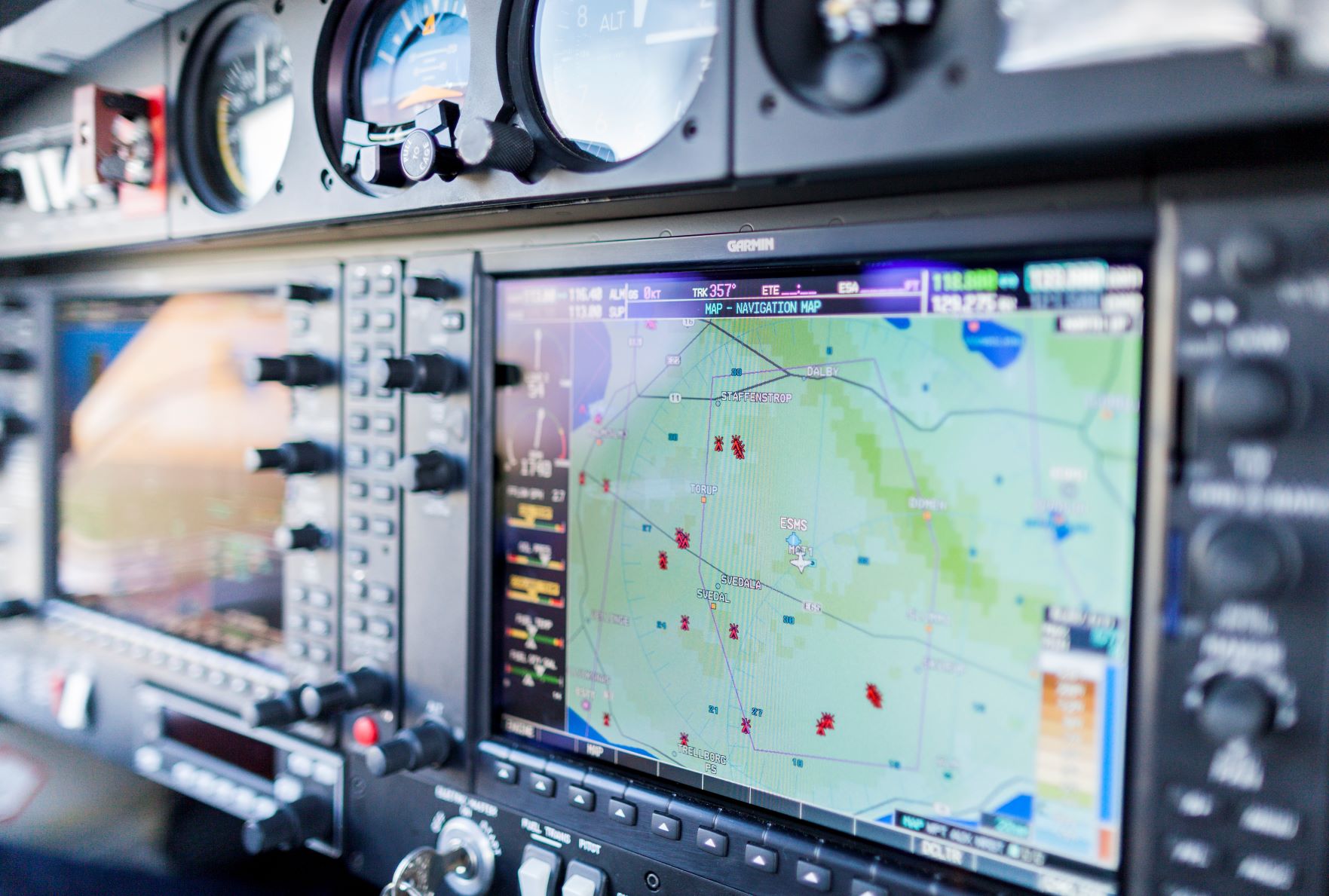
It’s much easier to view things on a map rather than peel through an Excel spreadsheet of latitude and longitude points. GIS mapping allows for a more efficient visualisation method for data collection. These maps are used for everything from city mapping to everyday navigation purposes.
Power and Network Services
While maps can be practical for everyday use for multiple industries, power and network services rely on a different type of GIS mapping.
Using primarily polygons to determine the geographical area covered in a power grid or network, power and network companies can determine if there are power outages or network outages in a certain area.
Urban Planning
Construction companies and business managers may be looking to expand operations or even open new facilities. GIS data can help these industries look further into the general direction of urban growth and expansion, highlighting where the most effective building site might be. GIS also gives these industries various geographical factors that may affect the building process.
Emergency Relief Efforts
While maps may be a helpful tool for emergency response teams, GIS goes beyond basic mapping to help in emergency relief efforts. Governments can use GIS data to map out where natural disasters have occurred, assess geographical areas for potential risk management, and disperse teams based on the most immediate geographical need.
Geology
Using GIS, geologists can analyse everything from soil and rock features to seismic data. This can help them design 3D geographic models and determine the best location for various functions related to their industry.
Streamline Your Business Processes with Geospatial Technology from MGISS
With the smarter use of geospatial technology and geographic information systems, our team at MGISS can independently advise on growth, prevention, and resolutions for your business operations.
Our solutions help to streamline field operations and drive smarter, more profitable decision-making while reducing the risk of regulatory fines, customer complaints, and reputational damage.
If you’re in the market for new techniques in mapping, urban planning, traffic rerouting, etc., MGISS is ready to transform utilities, infrastructure, and environments related to your next project.
Contact us today to see how your business utilities, infrastructure, and environment can benefit from the professional use of geographic information systems.
About
Empowering your decision making with the asset data truth. Independently advising on the smarter use of Geospatial data, technology and the digital transformation of field operations.


