Things to Know About 3D GIS

Consider the problems your business could solve with the right technology available. Geospatial information systems (GIS) offer powerful solutions for analyzing spatial information and solving problems relative to your industry.
Anything that can be placed on a map is a good candidate for using GIS. Everything from crime mapping and establishing routes to targeting customers and mitigating public health concerns involve some form of GIS.
While basic GIS technologies rely on mapping in a two-dimensional fashion (an x and a y value) and can be useful in most cases, these traditional methods may limit perspectives for solving problems.
This may leave business leaders wondering, is there another GIS technology solution available? Enter 3D GIS.
3D GIS software allows users to be more engaged with the spatial information presented to them. With more detailed visualizations, 3D GIS software and mapping can give you fresh, new perspectives that you won’t get with traditional GIS technology.
What is 3D GIS?
When you think about 3D technology of any kind, you think of something tangible or something with visual depth. 3D GIS technology utilizes depth to enhance your existing data.
Where traditional GIS mapping methods use a basic x/y axis, 3D GIS mapping adds a z-value. This means you can include more information, such as elevation and other relevant layers.
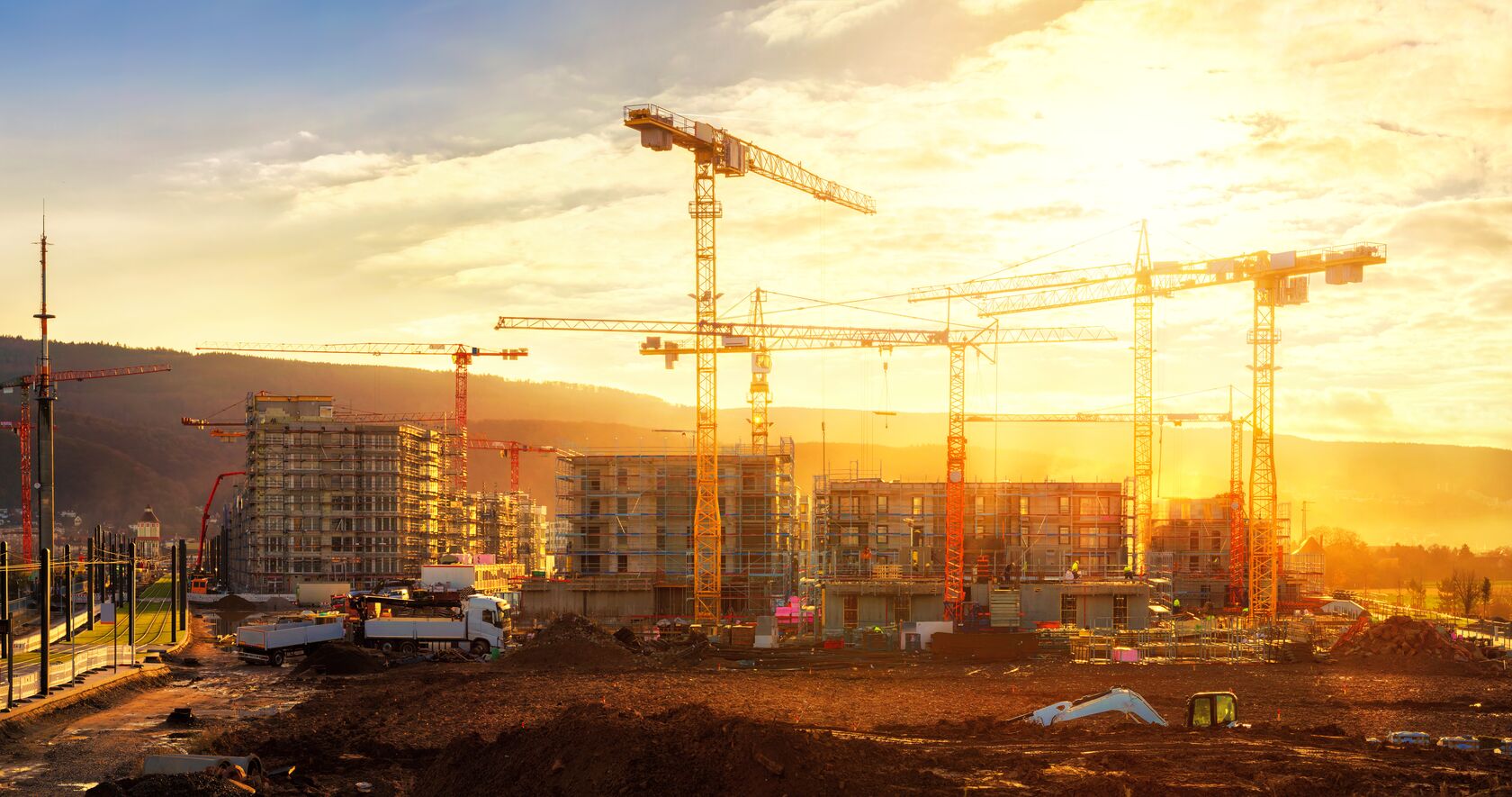
Consider construction, for example. The ability to analyze the elevation of land to see if it is suitable for development can add efficiency and accuracy to any development project.
3D mapping can, however, be more difficult than traditional two-dimensional GIS mapping. Involving more data and requiring more detailed analysis and attention, 3D GIS technology, while more intensive, can provide leverage for making strategic business decisions.
What Does the “Third Dimension” Represent?
As geospatial professionals use the z-value for GIS mapping, the z-value holds a different meaning for different industries. Other variables may be plotted as z-values, or one two-dimensional coordinate might hold multiple values.
The third dimension in 3D GIS might represent one of several things:
- An area’s population density
- The relative suitability of land for further development
- The concentration of chemicals and minerals in a region (and how it has changed over time)
- Aircraft positioning
- Depth of underground wells, utilities, and pipelines
Practical Uses of 3D GIS Technology
There are many uses of 3D technology that are useful for a variety of industries. A financial investment in 3D technology for your business can prove useful and generate more value over time as well.
City Planning
Think about the population density of urban areas or the future of infrastructure. The constant flow of people moving into the city, as well as people leaving the city for rural areas, can cause a shift in affordability, tax rates, and more.
But how is this all measured?
Minimizing the impacts of shifts in urban living (or urban sprawl in the case of developing previously under-developed areas to accommodate the population growth) means carefully planning the development of urban areas. City planners and other local leaders need to take into consideration the long-term effects of continuing to develop urban areas.
Using 3D GIS software, city planners can visualize proposed changes in urban living, from population density to increased urban development over time, while also considering how other factors, such as the environment, would be affected.
3D GIS mapping can highlight building information, air pollution, energy performance, traffic, elevation, noise levels, and much more. Modeling how all of these factors collide can help engineers, architects, city officials, and others collaborate and develop the best solution for long-term urban growth.
Disaster Response
In the midst of individual and community disasters, 3D mapping can perform in ways that traditional GIS modeling cannot. Up-to-date and extensive GIS data provided through 3D mapping can help guide disaster relief efforts to help save lives, locate heaviest-hit areas, and plan for rebuilding.
Situational awareness increases with the use of 3D GIS software, especially in the case of a natural disaster such as a wildfire. These detailed models and maps can help firefighters and other disaster teams to determine several things. Some of these include:
- The coordinates of the fire
- The type of terrain
- Any elevation in the area
- Potential evacuation routes, if necessary
- Structures that need to be a priority when sending disaster teams to the field
Streamline Your Business Processes with Geospatial Technology from MGISS
With the smarter use of geospatial technology and geographic information systems, our team at MGISS can independently advise on growth, prevention, and resolutions for your business operations. As a result, our solutions help to streamline field operations and drive smarter, more profitable decision-making while reducing the risk of regulatory fines, customer complaints, and reputational damage.
If you’re in the market for new techniques in mapping, urban planning, traffic rerouting, etc., MGISS is ready to transform utilities, infrastructure, and environments related to your next project.
Contact us today to see how your business can benefit from the professional use of geographic information systems.


