Geographic Information System: Different Applications of GIS

Geographic Information Systems (GIS) have many different applications in business and everyday life. And with the technological advancements that have come about through the years, GIS data has been utilised more and more as companies see how they can benefit from the information GIS can provide.
A geographic information system is a tool that captures, stores, checks, and displays demographic, topographic, and environmental data. Companies in various industries can use this data to make informed decisions in their business processes.
The uses of GIS continue to grow every day. In this article, we will look at the different ways that businesses and governments can use GIS.
Mapping & Navigation
Mapping is the primary function of GIS. People in all industries use maps every day for their navigation needs. GIS is used for web mapping platforms and applications from Google Maps to proprietary specialised platforms for aeronautical and military use.
Telecommunications Services
GIS is a great planning tool for the telecommunications industry. It allows organisations to incorporate geographic data into their network planning, design, optimisation, and maintenance. Customer relations, engineering applications, and location-based services are some ways that GIS can benefit telecommunications companies.
Community Development & Planning
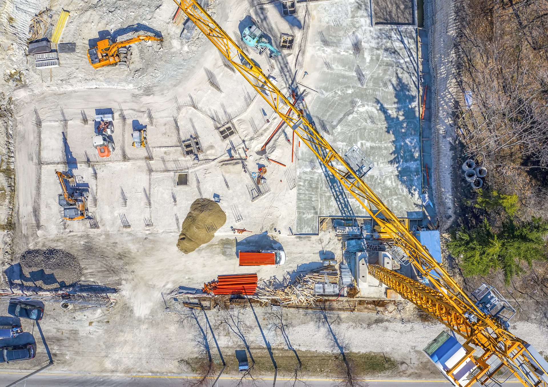
GIS has become essential to local governments in planning to develop their communities. Just because you have an empty lot, that doesn’t mean it is suitable to construct a building. The placement of new structures in a city impacts the residents’ quality of life. Not only that, developers have to consider the impact the structure will have on surrounding plant and animal life. These factors have made geographic information science and technology (GIST) invaluable in community development planning.
Public Health
Health and human services organisations use GIS software to map cases of diseases, allowing them to identify areas that are high risk and even to discover the origin of some conditions. Using this information, they can target awareness campaigns in the areas that need it the most.
Agriculture
Agriculture is one of the most important industries utilising GIS technology. Without it, we wouldn’t have food, clothing, or shelter. There are many ways that GIS technology can aid governments and farmers.
Not only can GIS data identify drought areas, but it can also predict pest and rodent attacks, provide a land and soil analysis, and even use population data to help governments and farmers plan their crops. This vital information can ensure that the farmers plant enough crops to sustain the surrounding population.
Disaster Management
GIS can identify areas that may be prone to natural or man-made disasters. After identifying these areas, city governments can use the data provided from GIS to create awareness and help prepare their residents in case of future disasters.
Risk Assessment
The ability to accurately determine risk is important to many industries, but it is vital in the insurance industry. For example, GIS can identify areas more likely to experience earthquakes, floods, or other natural disasters and can also identify areas with higher crime rates. As a result, locations with less risk will pay lower premiums, while high-risk locations will pay higher premiums.
Environmental Impact Analysis
Many human activities such as the construction and operation of highways, pipelines, railroads, and airports can adversely affect the environment. As a result, environmental impact statements (EIS) are typically required to provide information on the effect these activities have on the environment. By integrating various GIS layers, an EIS can efficiently be produced to assess the impact on the environment.
Surveying
Surveying measures the location of objects on the earth’s surface. An increasing amount of organisations have started using Global Navigation Satellite Systems (GNSS). The data collected from GNSS can be incorporated into GIS software to estimate area and create digital maps.
Military
The military uses GIS to evaluate the terrain, collect information about the weather, and lead operations. In addition, military personnel can use it to gather intelligence and perform surveillance and reconnaissance, providing vital information during operations.
Banking
Not only is location important, but a bank’s success is also dependent on its ability to provide customer-centric services. Using GIS data, not only can banks make decisions on where their branch locations should be, but they can also determine the types of products that fulfill the needs of their customers in particular areas.
Let MGISS Take Your Organisation from Location to Insight
This list is just the beginning of how industries utilise the information they gain through the use of geographic information systems. Every day, researchers and analysts find new and innovative applications for GIS technology.
At MGISS, we believe that deep, data-driven insight is the key to the continued success of critical infrastructure services. Our solutions will help you future-proof your operations, preempt disruptions, minimise consumer complaints, and drive more profitable decision-making, keeping you one step ahead.
Contact us today to learn how GIS can benefit your business.
About
Empowering your decision making with the asset data truth. Independently advising on the smarter use of Geospatial data, technology and the digital transformation of field operations.


