Water Story
Mike Cooper | 30 March 2021


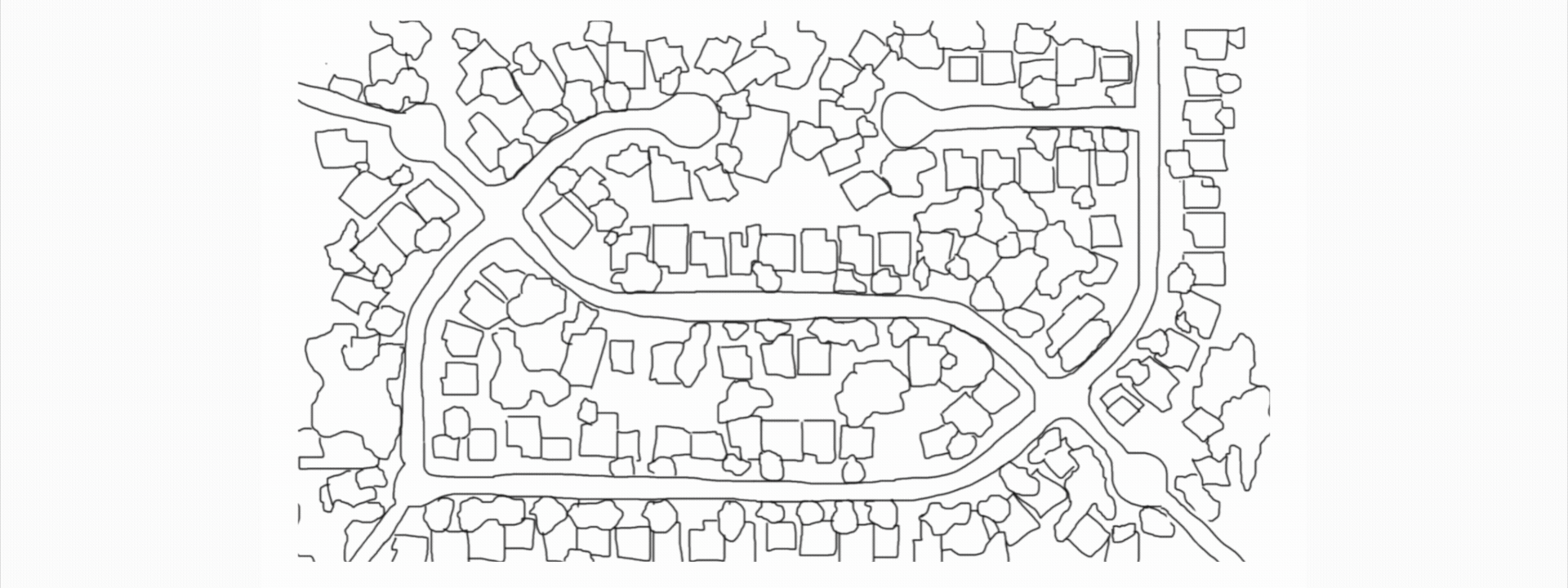
January with sub-zero temperatures and one of our Water utility clients receives news of a major pipe burst impacting many residential and business properties in the area.

The Regional Operations Manager dispatches the team to locate the source of the burst. He is under significant regulatory pressure to fix the problem and get customers’ back on supply. The clock is ticking, and this can result in significant financial penalties.
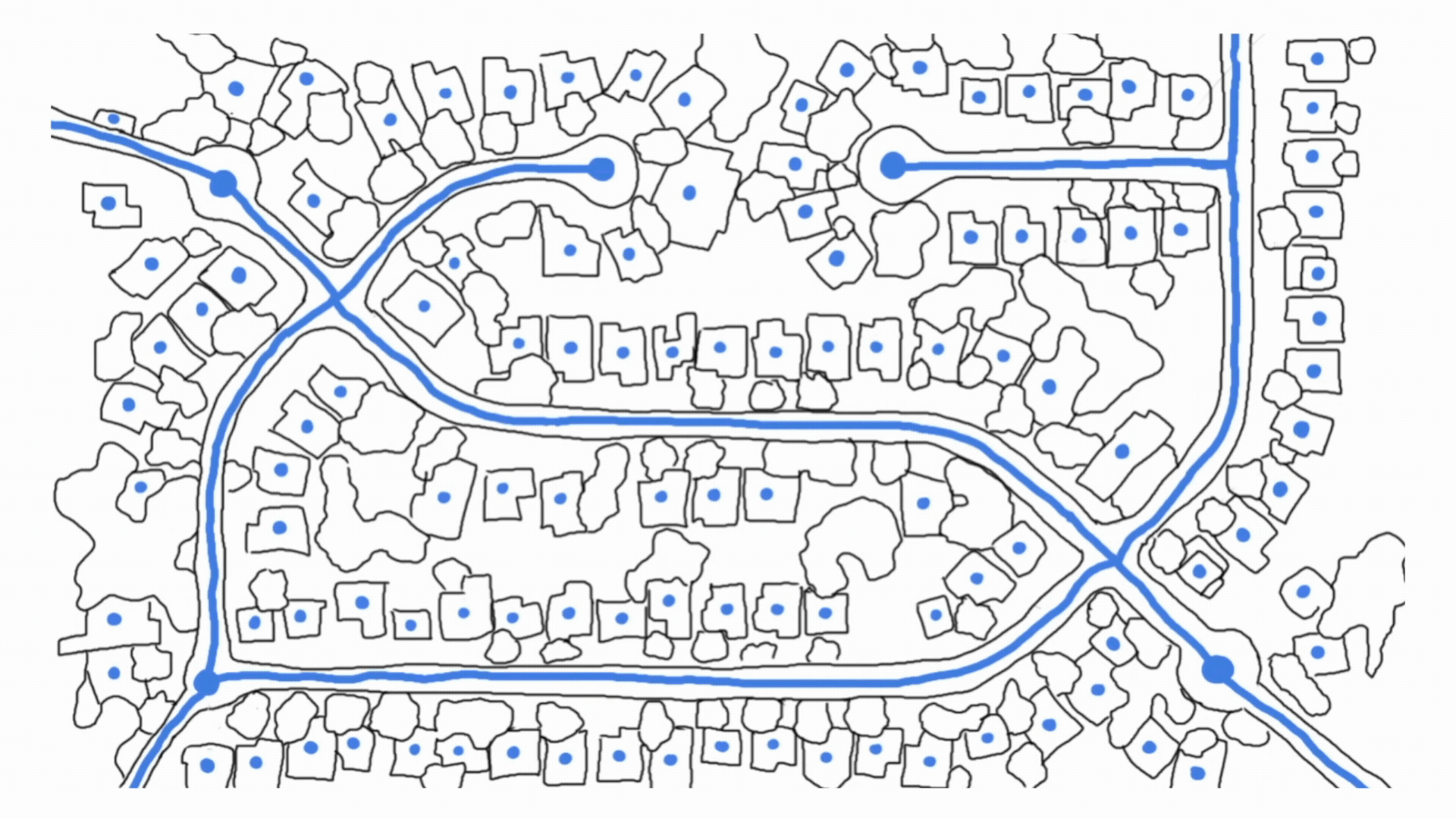
The Regional Operations Manager ascertains the number of properties affected and the number of customers without water. While businesses are closing, social media is alive with complaints and the Water Company’s reputation is impacted.

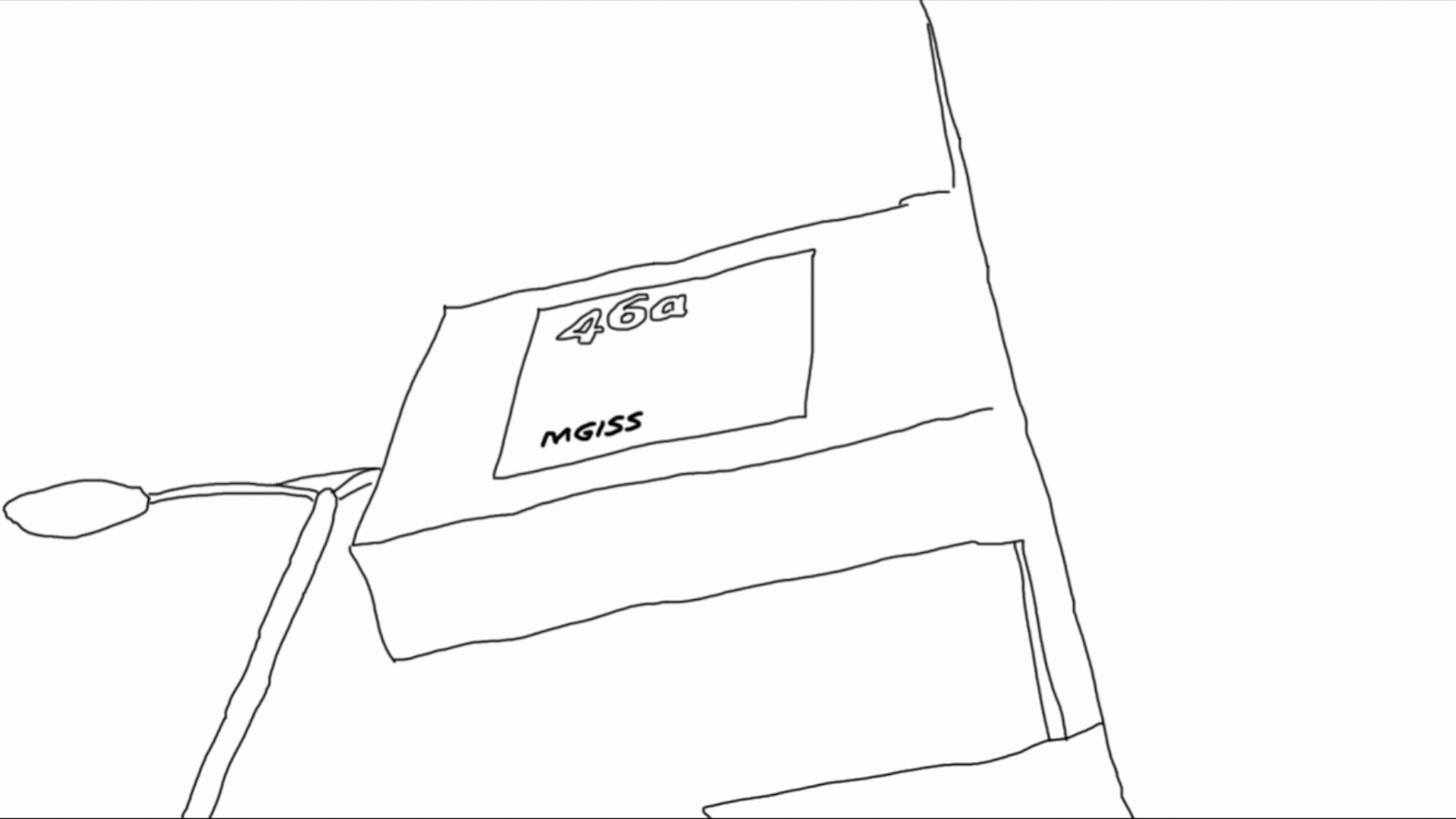
MGISS are contacted and are on hand to support the field resolution team who are utilising MGISS Asset Location and Asset Capture solutions, which combines cm accurate GNSS positioning equipment with access to asset records via ArcGIS field maps and Esri Collector to locate the cause of the problem and close off the nearest valve.

It appears that the valve is not where the plan says it will be, the area is flooded, and the field resolution team have resorted to paddling around in bare feet in order to locate the valve access cover. This is contributing to significant delays resulting in further financial and reputational impact.

The field resolution team eventually locate the valve and MGISS provides support to capture the actual location of the valve using the GNSS equipment and ArcGIS field maps as part of the MGISS Asset Capture workflow so as to avoid a similar incident in future.

Asset records are automatically updated in real time via ArcGIS Online and metadata including an accurately validated position is attached to the record as part of the MGISS Asset Data Quality Improvement workflow.
MGISS can now better support the utility with its MGISS Asset Insight solution that leverages the authoritative asset information combined with other data services including that from satellites to provide preventative measures that can anticipate disruptive events and target operational resources on the assets that matter most.
A data centric approach which helps keep critical utility infrastructure services running, resulting in happy customers without the financial or reputational risks.
About
Mike has spent over 45 years in the surveying and Geospatial industries in both technical and commercial roles, across the UK and internationally. Mike is focused on developing MGISS as a leading geospatial services provider, creating collaborative and innovative partnerships to further grow the business in its core markets.


