Z-Transform for ArcGIS is now available online on Esri’s ArcGIS Marketplace
Dave George | 29 June 2023


We are delighted to announce, that our Z-Transform for ArcGIS solution is now available for purchase as a plug-in from Esri’s ArcGIS Marketplace
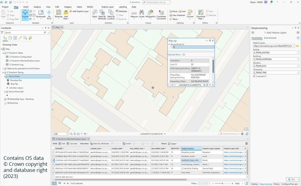
Z- Transform improves height and positional accuracy for ArcGIS Field Maps users. The automated solution enables three-dimensional (3D) asset data capture when using ArcGIS Field Maps to ensure asset information is accurately aligned with Ordnance Survey mapping. Z-Transform saves time and removes the complexity of applying highly technical geoid model transformations by running the calculations in the background for ArcGIS Field Maps.
Real-time GB (Great Britain) GNSS (Global Navigation Satellite Systems) altitude to Datum elevation transformations are applied directly into your ArcGIS Online hosted Feature Service ensuring real-time cm accurate UK elevation.
About Esri Marketplace
ArcGIS Marketplace is a one-stop shop for GIS applications, data, and services. It is a platform that connects GIS users with solution providers, allowing them to access a wide range of resources, tools, and services that can help them achieve their mapping and spatial analysis goals. Maps, datasets, and apps can be used for many purposes, from environmental monitoring to urban planning. There are also tools and services to help users manage and analyse their data, such as data hosting and processing services.
Why are we are selling there?
MGISS chosen to sell Z-Transform at Esri ArcGIS Marketplace online due to its ease of connecting users with solution providers. Users can find and purchase solutions tailored to their specific needs, rather than accepting a one-size-fits-all approach. The marketplace is user-friendly and accessible to all levels of GIS users, from beginners to experts. It’s an ideal place for GIS professionals, as it’s constantly evolving and expanding with new resources added regularly and informs users of the latest GIS trends and technologies.
In our development roadmap here at MGISS, we are planning to launch more of our existing solutions and upcoming brand new solutions in the ArcGIS Marketplace so watch this space!
About
With a background in COTS and Opensource development and database design, Dave has over 15 years of industry experience with utility and infrastructure asset owners. Dave’s expertise covers asset infrastructure development and geospatial technology provision, enabling seamless data management and achieving massive efficiency and cost savings with enterprise organisations.


